
Map Reading: The Key To Getting Home Safely
Get Lost!
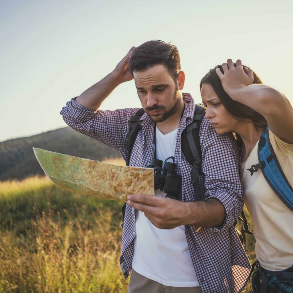
Okay…that’s bad advice, definitely DON’T get lost on your hiking or backpacking trip. While to goal is clearly to avoid this reality, it happens to the best of hikers. Conditions vary, situations vary, and even experienced navigators can lose their way. I promise, no more bad advice from here on out; we’ll focus on what to do before your trip to make sure you’re prepared, as well as how to use some critical tools, like map reading, while you’re on the trail.
If the worst does happen, there are some helpful navigation hacks every hiker should know, so keep reading to find out what they are.
Preparing For Your Hiking Trip
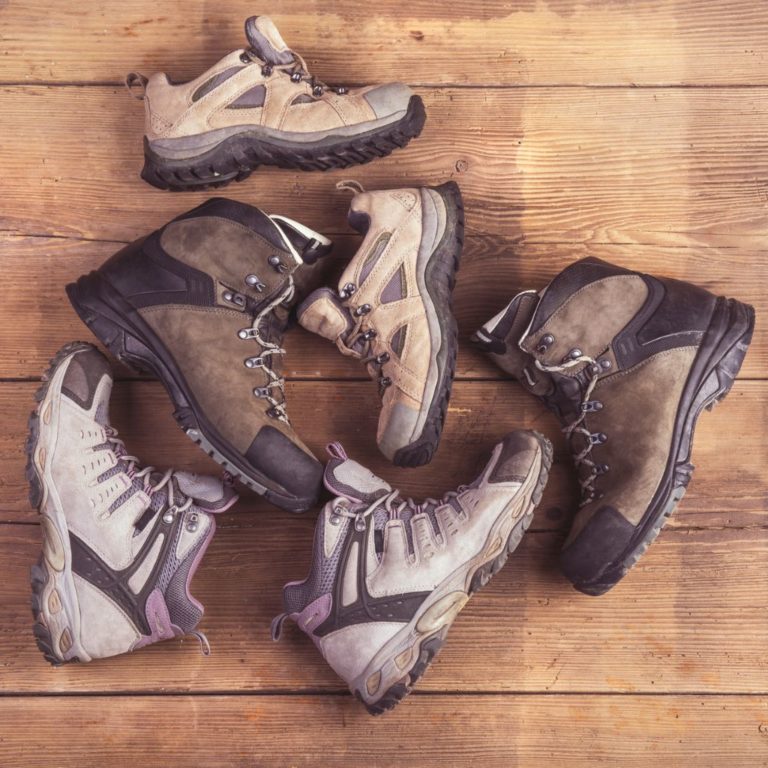
Lack of preparedness can lead to disaster once you’re in the backcountry. Before you go on your trip, no matter the distance, you should have an idea of the landscape, the area, and any significant landmarks you are going to pass during your hike. I highly recommend the app called AllTrails which has yet to have a trail not on it that I was visiting.
AllTrails shows you reviews of trails, lets you know the difficultly of the hike, and most importantly, has maps of each trail. With the paid version of the app, you can download the maps on your phone and have access to them even without service. It makes navigating easy!
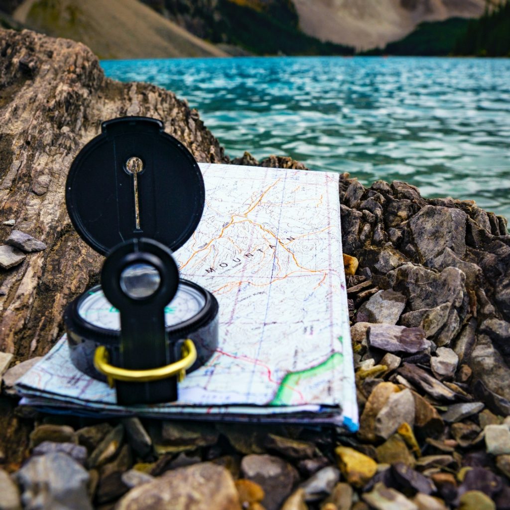
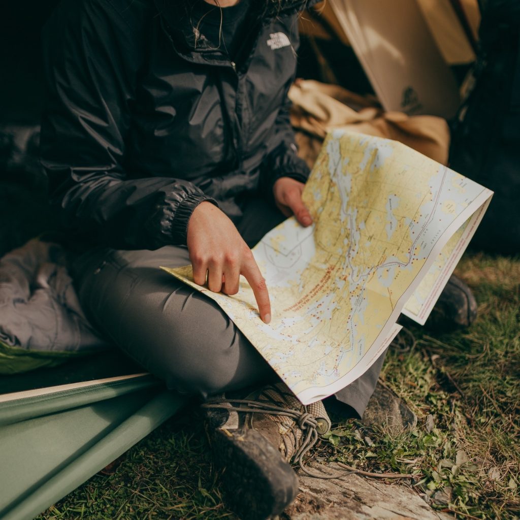
While tools like AllTrails and Google Maps seem like the end-all, be-all solutions, it’s not wise to depend on technology when you’re becoming one with nature. It’s almost as if Mother Nature likes to be ironic and make your tools quit working just when you need them. Humans have been getting around with paper maps for DECADES; you’re no different. Plan on printing out your map or getting a hard copy before hitting the trail. If your phone dies or something didn’t download properly, you won’t be left high and dry.
Reading A Map
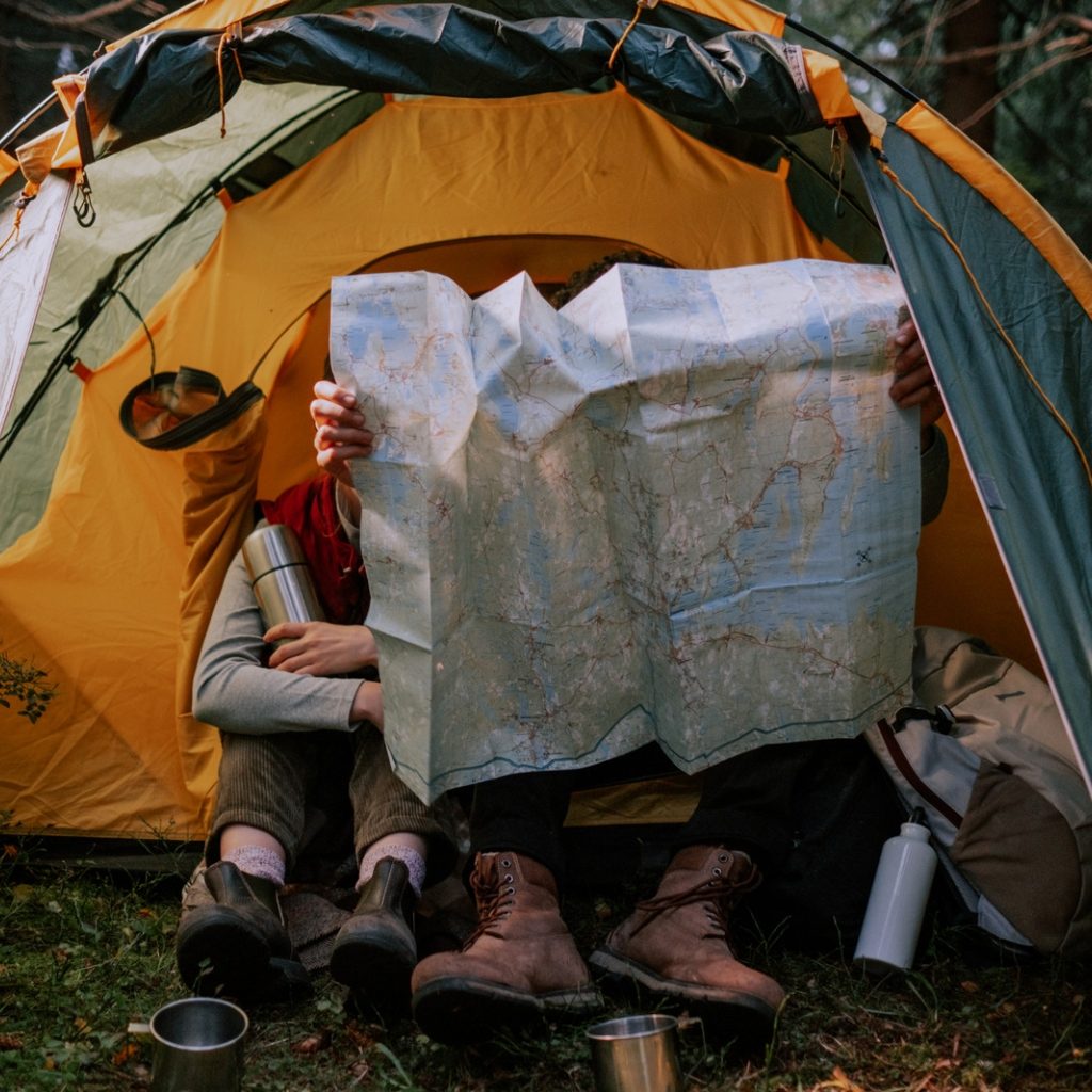
As with any tool, your hard copy map is only as good as your map-reading skills. If you don’t know how to use it properly, it won’t be able to get you out of whatever pickle you’re in. While not every map is going to be the same, there are a few pieces of knowledge that will help you out:
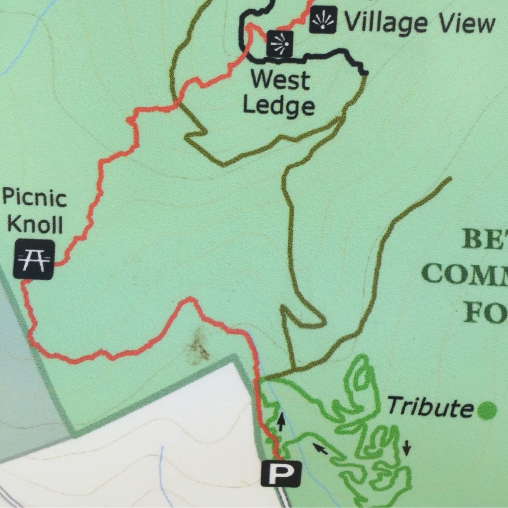
Reading The Map Legend
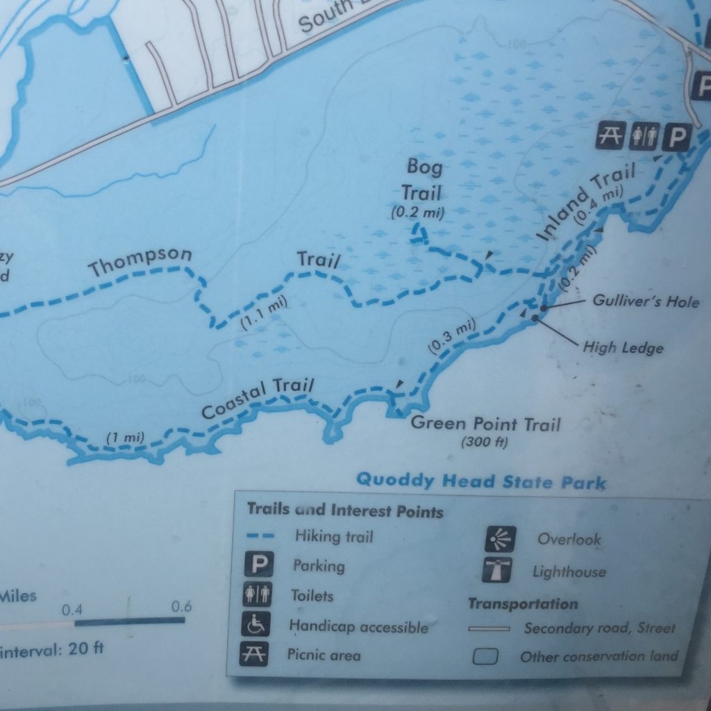
Since every map is different, get acquainted with the legend of your map prior to your trip. The map legend will let you know what certain lines and symbols on the map mean. It will also provide you a map scale, so you can covert “map distance” to real distance. For instance, if the scale is 1:24,000, that means for every inch on the map, there are 24,000 inches in reality or 0.38 miles for those of us that don’t measure our steps in inches. The scale will usually have a small reference of measurement that looks like a tiny ruler on the map itself. Seems simple enough, right?? Though, to be fair, algebra seemed simple enough at first, too.
Understanding & Reading Topography Maps
On many maps, like the ones from AllTrails, you may see small squiggly lines that somewhat follow the shape of the mountain or landscape, those are topography or “topo” maps and they help assess the intensity of the incline or decline coming up. These are vital when you’re hiking and need to figure out how quickly you can travel or how strenuous the next leg of your journey is. This becomes life or death if you are lost and are trying to lay out your options for getting home. If the sun is setting, and you see you’re near a big uphill slog, it’s probably best to set up camp and wait until morning before continuing; reading the topography of a map will help make that decision.
When looking at topography maps, you’ll notice that each contour line can have varying distances between the next contour line. The distance between lines is an interval of elevation change; your map legend will tell you exactly how much elevation change for that specific map. Most topo maps will have darker contour lines throughout that are labeled with the elevation to help act as a guide. With practice, you’ll be able to glance at this map and know if you better get your glutes fired up for uphill, or if you have a downhill break. Yay for downhill breaks!
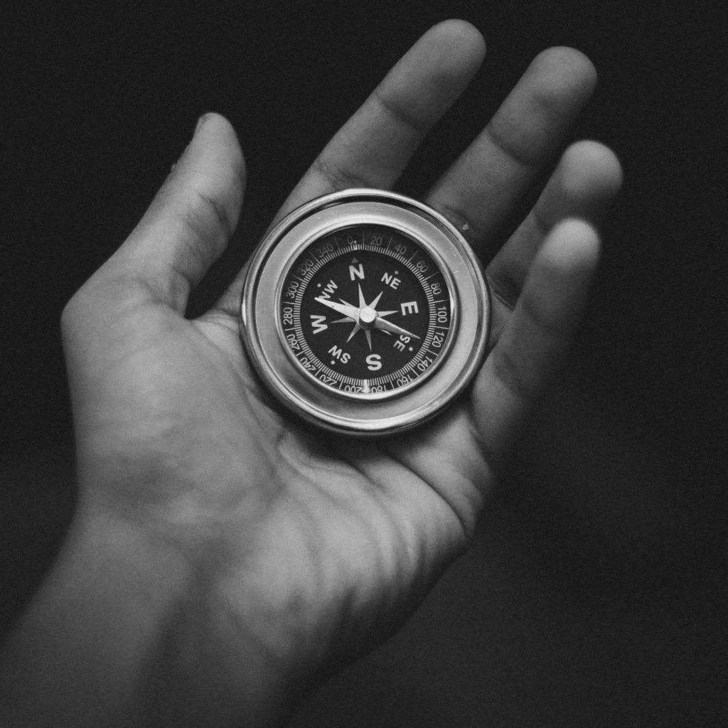
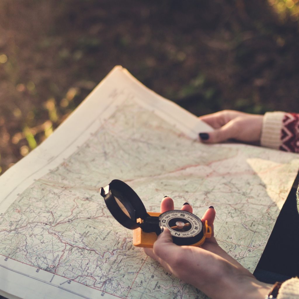
Using A Compass
Maps are useless if you don’t know which direction you’re headed. Most maps will have a compass on them to show how to orient your map, but you’ll need a real compass to fully understand how your map works in relation to the trail. Having a good compass may feel a little archaic, but this is another item I don’t recommend hiking without. You can’t always rely on the compass on your phone and trying to figure out which way is North by using the sun can be very cumbersome.
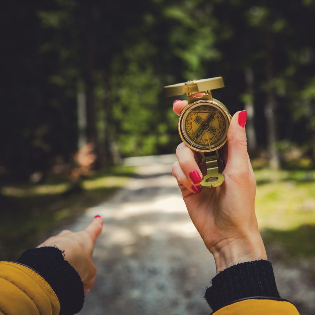
To be accurate, your compass may need to be adjusted depending on the area you’re exploring, so be sure to check to put this task on your pre-trip checklist. The reason you have to do this is that your compass points to “Magnetic North” which could be slightly different than True North (where the North Pole is).
Practice Makes Perfect
When I first starting hiking, it kicked my butt. You may feel like your compass or map kick your butt when you start using them, but you will get better with time. I have now traveled so much with these tools that they feel like an extension of my hands. I can’t tell you the number of times I have been saved because I took the time to hone in on my map skills. Even if you’re doing a short day trip that seems straightforward, bring your map and compass with you to practice using them! Challenge yourself to put your phone and AllTrails map away, and just do it the old school way. I promise it’s not as hard as that “uphill in the snow both ways” climb your grandparents had on the way to school.
What To Do If You’re Lost
It happens – people make mistakes. My rule of thumb is, if you make a poor decision, follow it with a good decision. Here are the good decisions you need to follow up with if you are lost:
Don’t Panic
Most hiking stories that go horribly wrong are usually because someone panicked. Keep your head on straight, take a few deep breaths, and keep your mind clear.
Don’t Keep Going
Wandering around aimlessly will not get you out of the situation; it may even make it worse. Don’t be afraid to pause, eat a snack, and re-energize. If it’s dark or approaching nightfall, stop for the night and set up camp. You might be surprised at how clear your mind will be with a good night’s sleep.
Plan
Know what your plan is before you continue moving. Maybe it’s backtracking or climbing to higher ground to get a view of the landscape. Whatever you decide, at least you’ll have thought it through first.
Nature’s Navigation Hacks
Say the unthinkable happens: your phone dies, a bear eats your compass, and you have to use your map as toilet paper. You may feel shit out of luck (no pun intended). Fear not, Mother Nature has your back…mostly. While these aren’t foolproof, here are some simple things to look at during your time of need:
Follow Water
Water generally flows downhill. If you do get lost and have no other navigation methods, you can follow a stream downhill to a river or larger body of water, with the idea being that larger bodies of water are usually closer to civilization. If you have been lost for some time, this will also help ensure you’re never too far from water.
Use The Sun
The sun can be a substitute compass if something happens to yours. There are two methods to harness the power of the sun’s directional capabilities: shadow compass and analog watch methods.
The shadow compass method consists of place a 1-meter-high stick in the ground and marking the tip of the shadow. Then, wait 20 minutes and mark the tip of the new shadow. Draw a line between these two marks and the line the represents east-west direction.
The analog watch method comes in handy if you travel with just that – an analog watch! If you’re in the northern hemisphere, point your watch’s hour hand at the sun. The center point between the hour hand and 12:00 on your watch is south.
Plant Clues
In the northern hemisphere, plants and flowers will usually have the most growth on the southern side of the trees.
Be Smart
Hiking and backpacking are thrilling adventures, but they get a lot less fun when they become dangerous. To keep them as safe as possible, make sure you’re prepared. Don’t depend on your phone or digital navigation like a GPS. Print out a map, bring your compass, and learn how to use both…BEFORE YOUR TRIP! I see you, you procrastinators.